Tuk-Tuks of Pattaya
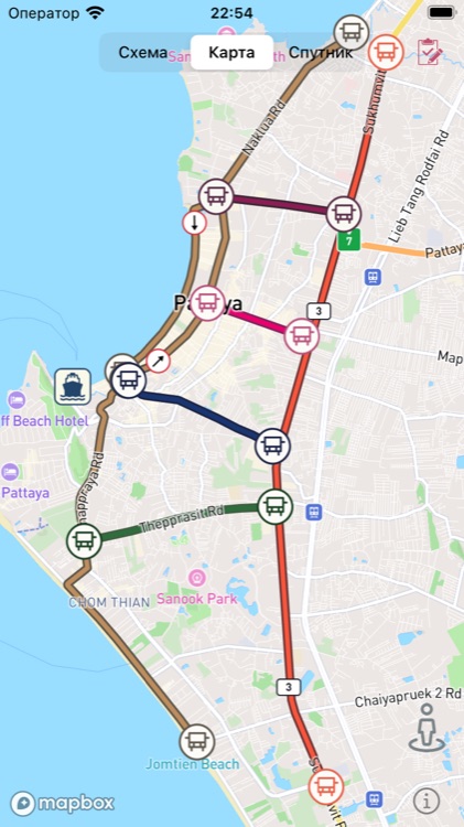
Map of Pattaya songthaew routes: 6 lines, stops and ferry schedule to Koh Larn.
City transport routes of Pattaya on your phone. The famous white songthaews (folk name — tuk-tuks) that roam the city on a “whatever happens” schedule: raise your hand, ride to your intersection, ring the bell.
What’s inside:
- 6 routes — Jomtien–Naklua, Thep Prasit, South Pattaya, Central Pattaya, North Pattaya and Sukhumvit Road, with real paths and stops;
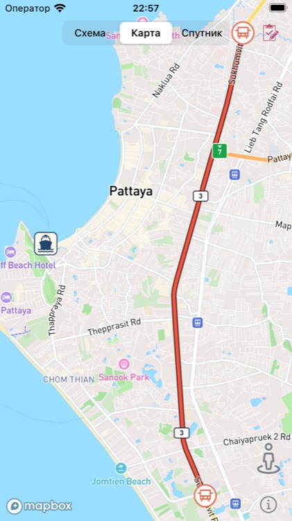
- three map styles — scheme, streets and satellite (Mapbox);
- named stops — tap an icon to see where you are;
- ferry schedule to Koh Larn island (Bali Hai pier → Tawaen and Naban beaches) — tap the ship icon;
- your own marks — long-press the map to drop a pin: a place, a shop, or just “good soup here”. Marks persist between launches;
- route visibility settings — keep only the route you need on the map.
Localized into Russian, English and German.
Works offline: routes and the schedule are bundled with the app, the map is cached. No need to hunt for wi-fi on the beach to remember where this tuk-tuk is going.